津軽海峡は渡鳥の通過点。海峡に伸びた岬の写真をまとめました
Tsugaru Strait is a transit point for migratory birds. This page shows photos of capes extended toward the strait.
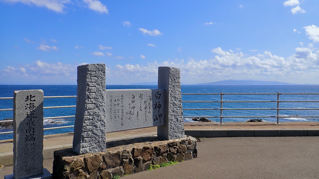
白神岬 / Cape Shirakami
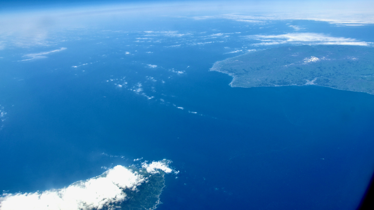
津軽海峡南上空より撮影した白神岬(右上)と竜飛岬(左下)。その間は約19km。天気が良ければ対岸がよく見える
Cape Shirakami (upper right) and Cape Tappi (lower left) taken from the sky above the southern Tsugaru Straits. The distance between the two points is about 19 km. The other side of the strait can be seen on a clear day.
函館山 / Mt. Hakodate
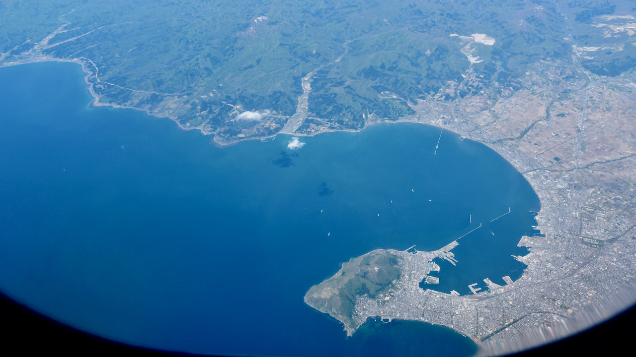
夜景で知られる函館山は火山の噴火できた島が陸続きになった陸繋島
Mt. Hakodate, which is known for its night scenery, had been an island formed by volcanic eruptions and connected to land later.
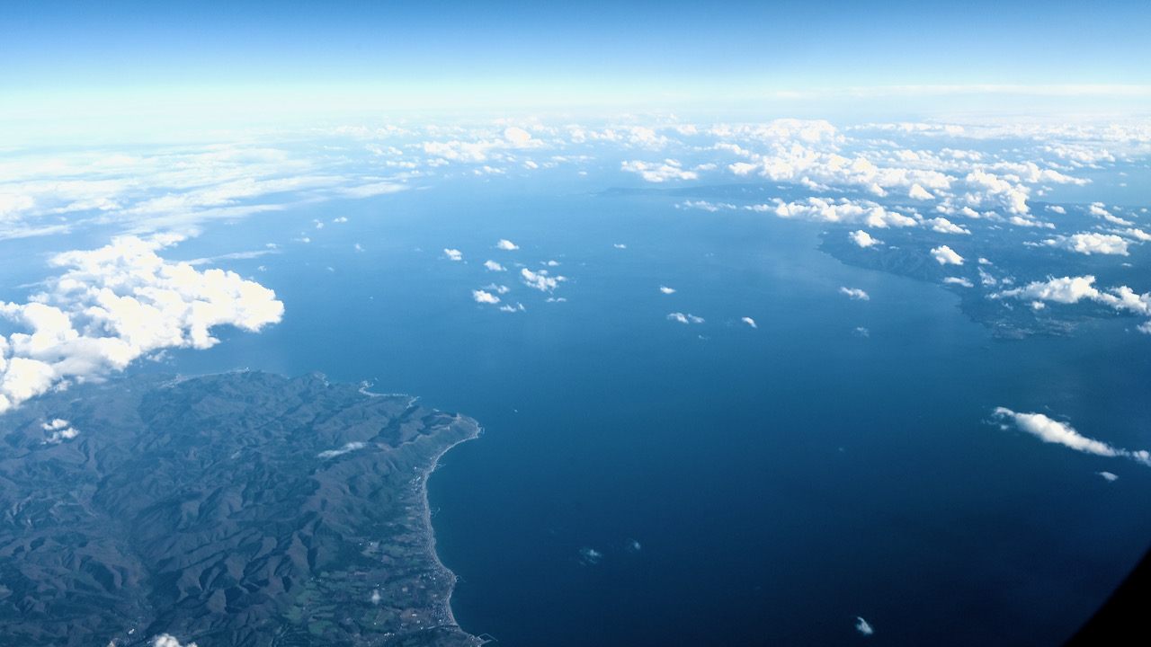
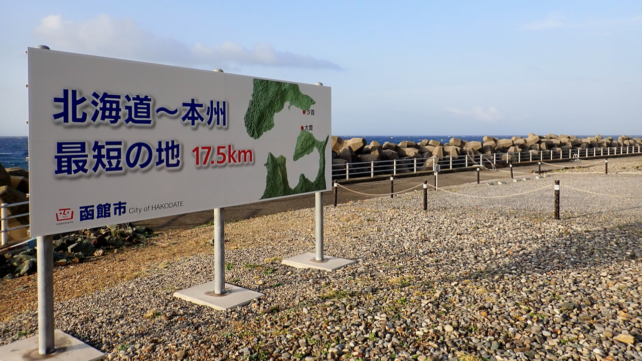
汐首岬 / Cape Shiokubi
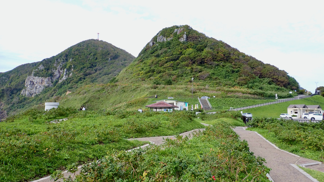
汐首岬と大間岬の間隔は約17.5km。北海道最南端は白神岬に軍配だが、距離はこちらの方が近い
The distance between Cape Shiokubi and Cape Oma is about 17.5 km. Cape Shirakami is the southernmost of Hokkaido, but it is closer.
青森県側 / Aomori Pref. side
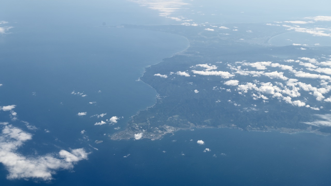
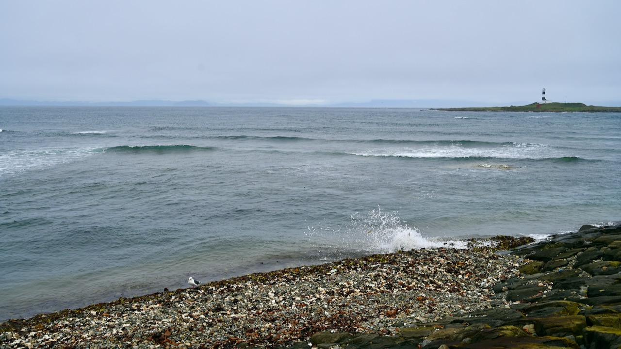
大間岬 / Cape Oma
本州最北端の青森県大間岬。ここからは函館山などの北海道の景色が見えます
Cape Oma, Aomori Prefecture, is the northernmost point of the main island of Japan. There are views of Mount Hakodate and other Hokkaido landscapes from the cape.
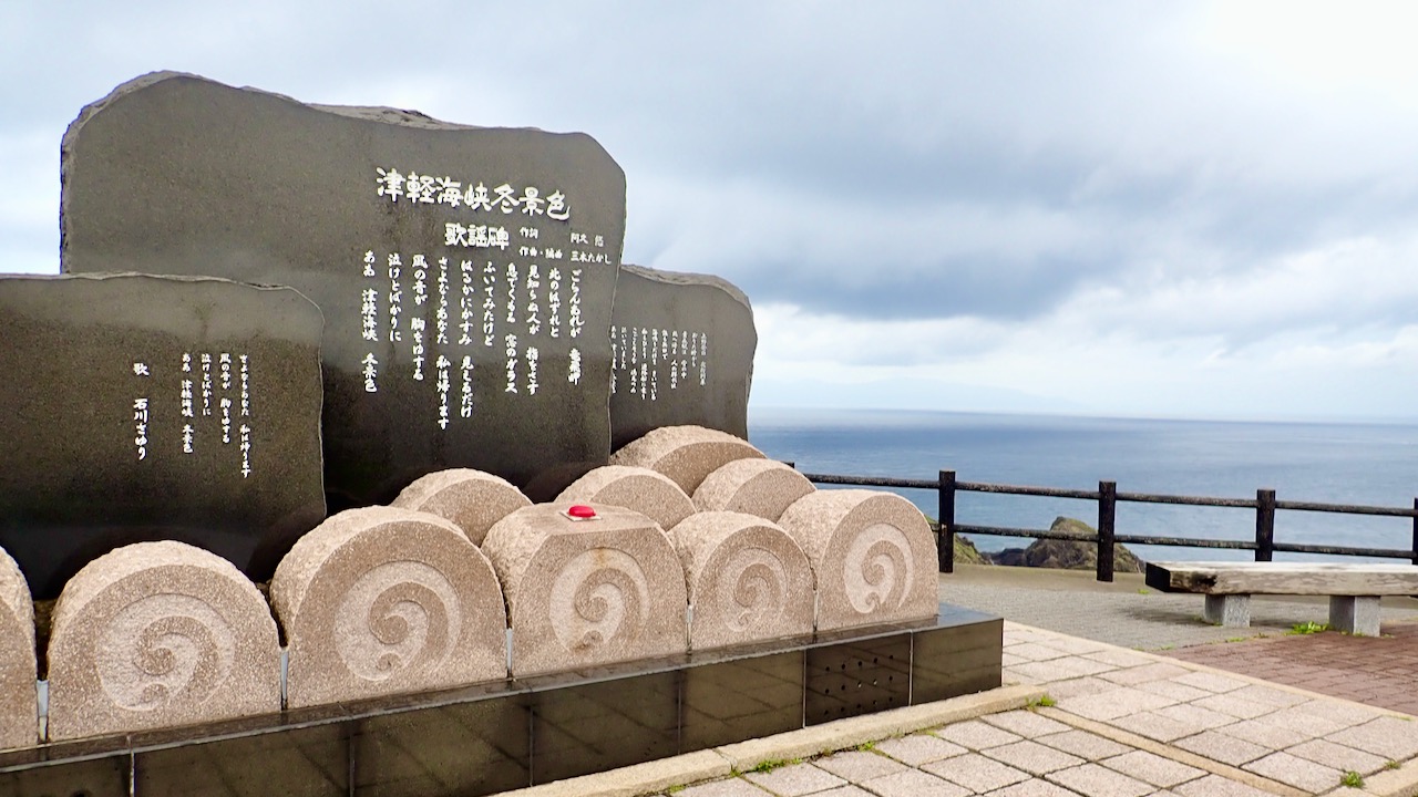
竜飛岬 / Cape Tappi
あまりに有名な「津軽海峡冬景色」。いやいや、年代によるか・・
The too-famous Enka (Japanese popular ballad), ‘Tsugaru Strait winter scenery’. No, no, it depends on the age…

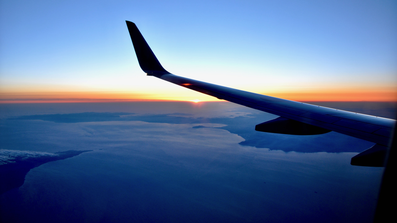
日没の津軽海峡 / Tsugaru Strait at Sunset
津軽海峡東上空より撮影。白神岬(左端)、函館山(太陽の下)、汐首岬。画面左下は大間岬
Cape Shirakami(left), Mount Hakodate (center), and Cape Shiokubi(right). Lower left of the screen is Cape Oma. *Taken from the sky over the eastern Tsugaru Strait
(参考)青函トンネル記念館